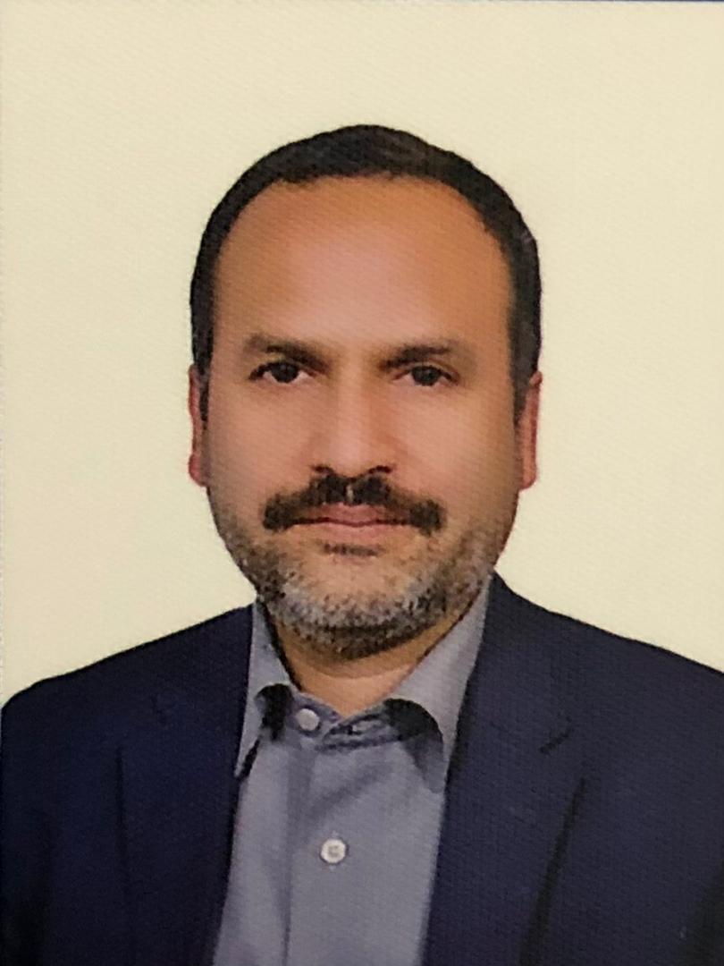
| Prof. Mahmoud Reza DelavarUniversity of Tehran, IranProf. Mahmoud Reza Delavar is Director, Center of Excellence in Geomatic Eng. in Disaster Management and Director, Land Administration in Smart City Lab., School of Surveying and Geospatial Eng., College of Engineering, University of Tehran. Dr. Delavar has received his BSc. in Civil Eng.-Surveying from Technical University of KNT, Tehran, Iran in 1989, MSc in Civil Eng. - Photogrammetry and Remote Sensing from University of Roorkee (Currently IIT Roorkee), Roorkee, India in 1992 and a PhD in Geomatic Eng.-GIS from University of New South Wales (UNSW), Sydney, Australia in 1997. He is chairing WG IV/2 (Artificial Intelligence and Uncertainty Modeling in Spatial Analysis) in International Society of Photogrammetry and Remote Sensing (ISPRS) during 2022-2026. He is Iran national representative to International Society of Urban Data Management (UDMS) since 2006. Prof. Delavar is founder of Iranian Society of Surveying and Geomatics Eng. (ISSGE) and is in the editorial board of ISPRS International Journal of Geo-Information (IJGI) and Geo-spatial Information Science (GSIS). Prof. Delavar is a member of International Society of Urban Informatics. Prof. Delavar has published 400 papers in reputable national and international conferences and Journals. Prof. Delavar has supervised 122 MSc. and PhD theses and Postdoc research so far. His research interests are in spatial data quality and uncertainty modeling, temporal GIS, disaster management, smart cities, cadaster, land administration, spatial data infrastructure (SDI), building information modeling/management, (BIM), multi-dimensional GIS, ubiquitous GIS, spatial interoperability, spatial data fusion, spatial data science, intelligent GIS, urban growth modeling, land use and land cover change modeling, and integration of remote sensing and GIS. |
| Prof. Zhenghao ShiXi'an University of Technology, ChinaZhenghao Shi, Ph.D., Professor, Doctoral Supervisor, Member of the Academic Committee ofXi'an University of Technology, Outstanding Member of CCF, IEEE Senior Member, "500 Elite Talents" of Taizhou City, Zhejiang Province, Executive Director of Shaanxi Computer Society, Chairman of the "Computer Vision Technology Professional Committee" of Shaanxi Computer Society, Vice Chairman of the "Biomedical Intelligent Computing Professional Committee" of Shaanxi Computer Society, Head of the "Intelligent Image Processing and Application" research team at Xi'an Technological University, with main research directions in machine vision, medical image processing, and machine learning. Published 60 academic papers as first author or corresponding author, authorized 15 invention patents (including 1 South African invention patent), won 2 second prizes of Shaanxi Science and Technology Progress Award (ranked first), 1 second prize of Xi'an Science and Technology Progress Award (ranked first), and 3 second prizes of Shaanxi Higher Education Science and Technology Award (ranked first). Firstly, One second prize for scientific and technological progress from Shaanxi Computer Society (ranked first), one first prize for technological invention from Shaanxi Computer Society (ranked first), and the "Wiley China Open Science High Contribution Author" award. |
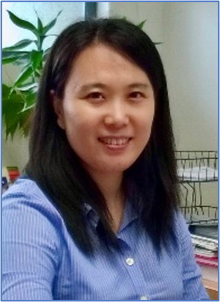
| Prof. Xin WangMonash University Malaysia, MalaysiaDr. Xin Wangobtained her PhD from Nanyang Technological University. Currently, she is an Associate Professor at Monash University Malaysia campus. Dr. Wang's research interests include machine vision, image processing, laser sensing, optical metrology, deep learning, non-destructive testing and structural health monitoring. She has published 2 book chapters and over 90 peer-reviewed journal papers. Dr. Wang is a Chartered Engineer (IMechE, UK), a Senior Member of IEEE, and a Fellow of IETI. |
| Prof. Yaoping CuiHenan University, ChinaYaoping Cui, Ph.D., Professor, Doctoral Supervisor, and Distinguished Professor in Remote Sensing Information Science and Technology. His research primarily centers on remote sensing big data, land and water resources utilization, and their ecological and climate effects. He currently serves as a Science and Popularization Expert for China Science and Technology Press & Popular Science Press, an expert committee member of the Construction Engineering Remote Sensing Branch of the China Remote Sensing Application Association, an inaugural member of the First Watershed Development Strategy Professional Committee of the Chinese Hydraulic Engineering Society, an inaugural standing committee member of the Ecological Environment Model Professional Committee of the Chinese Society for Environmental Sciences, and a committee member of the Natural Resources Information System Research Professional Committee of the Chinese Society of Natural Resources. |


